|
| *****SWAAG_ID***** | 271 |
| Date Entered | 21/08/2011 |
| Updated on | 31/08/2011 |
| Recorded by | Tim Laurie |
| Category | Ring Cairns |
| Record Type | Archaeology |
| Site Access | Public Access Land |
| Record Date | 15/08/2011 |
| Location | East Stonesdale |
| Civil Parish | Muker |
| Brit. National Grid | Hidden |
| Altitude | #410m |
| Geology | Calcareous spring rise below Crow Limestone |
| Record Name | Ring cairn like structure at spring above East Stonesdale Beck |
| Record Description | Ringwork on sloping west facing ground enclosing a spring rise. The higher eastern perimeter being defined by contiguous stone slabs set on edge (orthostats). The lower western perimeter is defined by a low stone bank which is in part obscured (but still detectable) below the growing marsh.
This stone ring is located like a bead on the line of a stone bank which forms the perimeter of a curvilinear stone banked enclosure with adjacent hut circle (see next site record. The enclosure bank abuts and does not cross the stone ring which must surely predate the enclosure.
This ringwork has the general appearance of a prehistoric stone ring although since it encloses a spring head this feature may have been constructed to keep stock animals oaway from a source of drinking water.
There is the possibility that this ring was constructed to enhance the spring head which may have held some significance as a 'holy well' type of location. The ring may mark the location of a burial.
At least two further stone orthostatic ring banked enclosures of similar dimensions and construction are known in Swaledale.
First recognised on 15 August 2011 by Norman Mahaffy, Tim and Eileen Laurie and Linda Robinson during a botanical excursion. |
| Dimensions | 6m diameter overall. |
| Additional Notes | While recorded seperately, this feature should be considered in context with the adjacent enclosure and hut circle which can be regarded as an unenclosed settlement. |
| Image 1 ID | 955 Click image to enlarge |
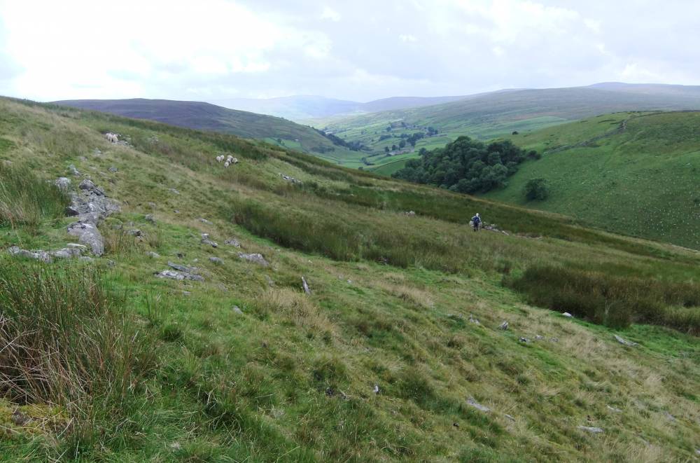
| Image 1 Description | The general location of the settlement encosure and ring cairn like structure |  |
| Image 2 ID | 956 Click image to enlarge |
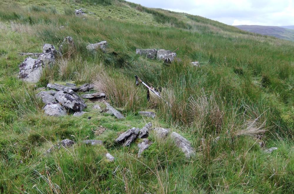
| Image 2 Description | The ring work enclosing the spring head. | 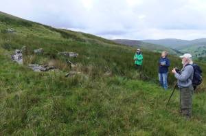 |
| Image 3 ID | 957 Click image to enlarge |
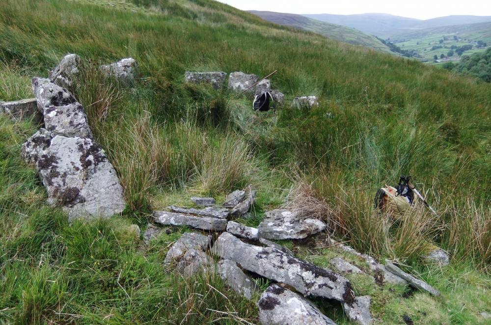
| Image 3 Description | The ring work. Detail of orthostats at upper, western perimeter. |  |
| Image 4 ID | 958 Click image to enlarge |
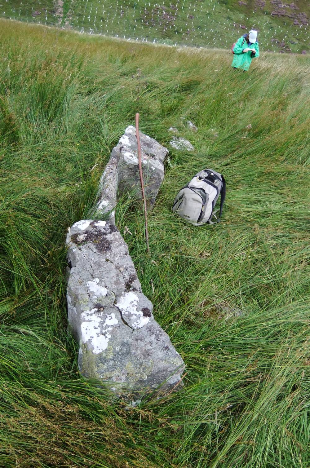
| Image 4 Description | The ring work. Detail of orthostats at upper, western perimeter. |  |
| Image 5 ID | 959 Click image to enlarge |
| Image 5 Description | The ring work. Detail of orthostats at upper, western perimeter. | 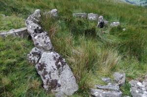 |
| Image 6 ID | 960 Click image to enlarge |
| Image 6 Description | The ring work. Detail of orthostats at upper, western perimeter. | 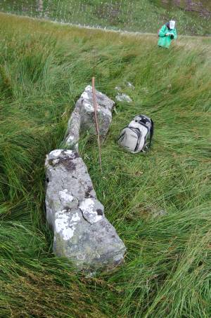 |
| Image 7 ID | 961 Click image to enlarge |
| Image 7 Description | The ring work. Detail of orthostats at upper, western perimeter. | 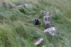 |